Best Self-Guided Walking Tours in Paris: 10 Mapped Routes
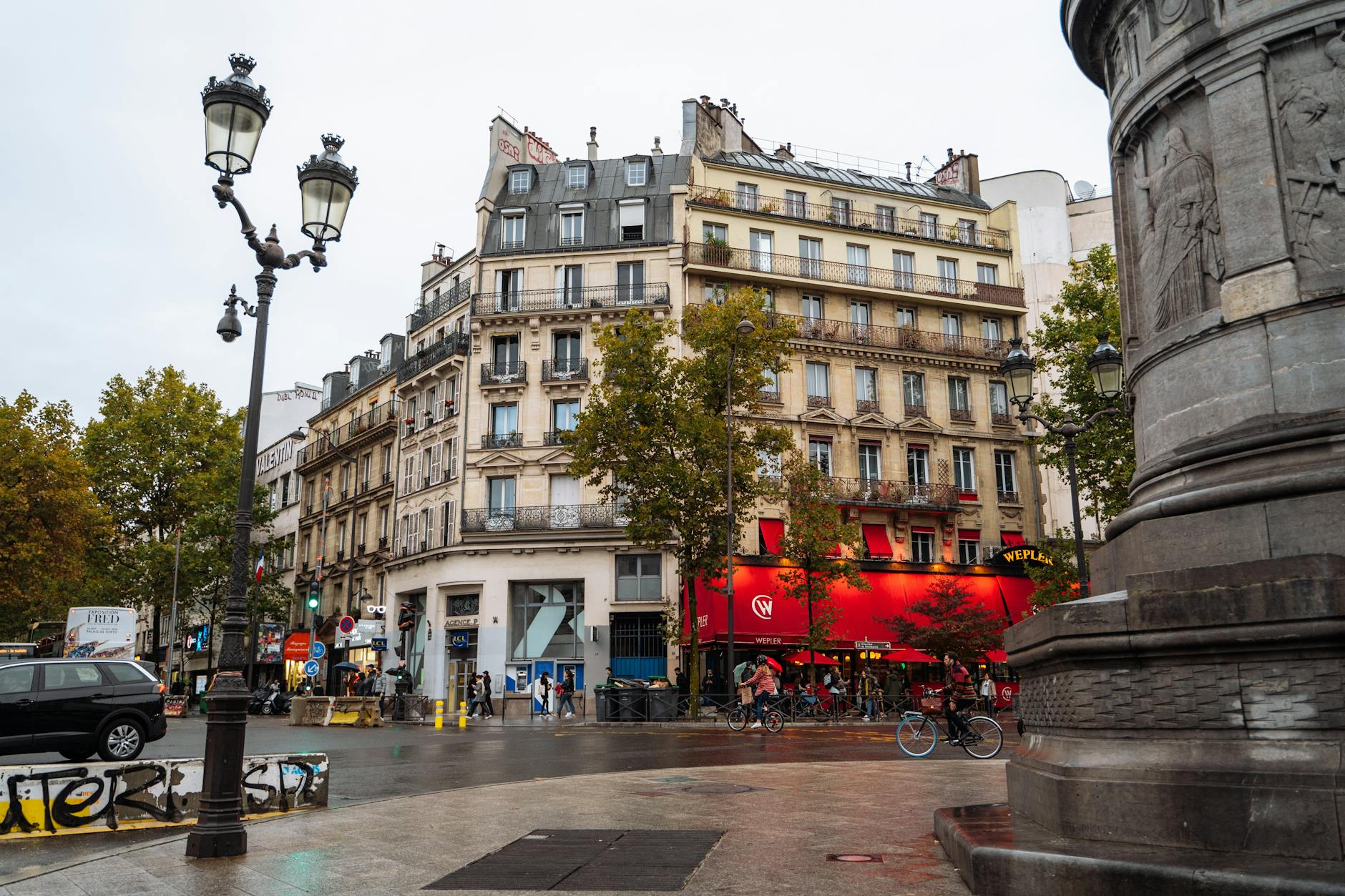
The best self-guided walking tours in Paris turn the city into a slow-release museum, one where the Seine, the Haussmann boulevards, and the back streets of the Marais reveal themselves at the pace of your own footsteps. Paris is one of Europe’s great walking cities: flat, dense, photogenic, and stitched together by a café stop every two hundred metres. You don’t need a tour bus, a guide waving a flag, or a queue to see it well. You need comfortable shoes, a phone with offline maps, and a route that knows where to send you next.
What follows is ten mapped routes, running from the marquee tourist arc to neighbourhoods most visitors never set foot in: the covered passages of the 2nd, the locks of Canal Saint-Martin, the terraces of Belleville, the literary lanes of the Latin Quarter. Each one gives you start and end points, distances, realistic timings, café recommendations, and the small details that turn a walk into a day. Three hours or three days, there’s a route here that fits, and they all feed into the broader list of things to do in Paris.
Why Walk Paris?
Paris is small. Almost suspiciously so. The city proper covers just 105 km², organised into 20 arrondissements that spiral out from the Louvre clockwise like a snail shell. Most of the famous sights sit within a five-kilometre radius of each other, which means walking between them is genuinely faster than ducking in and out of the Metro for short hops. By the time you’ve navigated Châtelet’s corridors and ridden two stops, you could already have walked there above ground and seen three things along the way.
Aim for 6–8 km of walking a day at a relaxed sightseeing pace, which works out to roughly 90 minutes of actual movement spread across 5–7 hours, with stops for coffee, photos, a museum, and lunch. Wear waterproof closed-toe flats. The cobbles in the Marais and Montmartre are unforgiving, and the Seine quays turn slick after rain. Pack a folding umbrella nine months of the year, and a light layer even in summer.
How to Use These Routes
Every route follows the same template. A Metro-accessible start point, an end point near another Metro station, total distance in kilometres and miles, and a time estimate at a relaxed pace with photo stops. Highlights are listed in walking order. We suggest two or three café stops and flag whether the route runs better clockwise or anti-clockwise. Where a route overlaps with our other guides, we link straight across so you can layer themes (museums, food, photography, history) on top of the geography.
For mapping, three apps cover almost every situation. Google Maps is best for raw walking directions and street-view previews. Citymapper is unbeatable for combining a walk with a Metro hop home. Komoot wins if you want elevation profiles for Montmartre and Belleville. Whichever you use, save your route offline before you leave the hotel. Paris’s 5G is excellent above ground but vanishes in Metro tunnels and the thick-walled older buildings.
Route 1: The Classic Arc — Notre-Dame to the Eiffel Tower
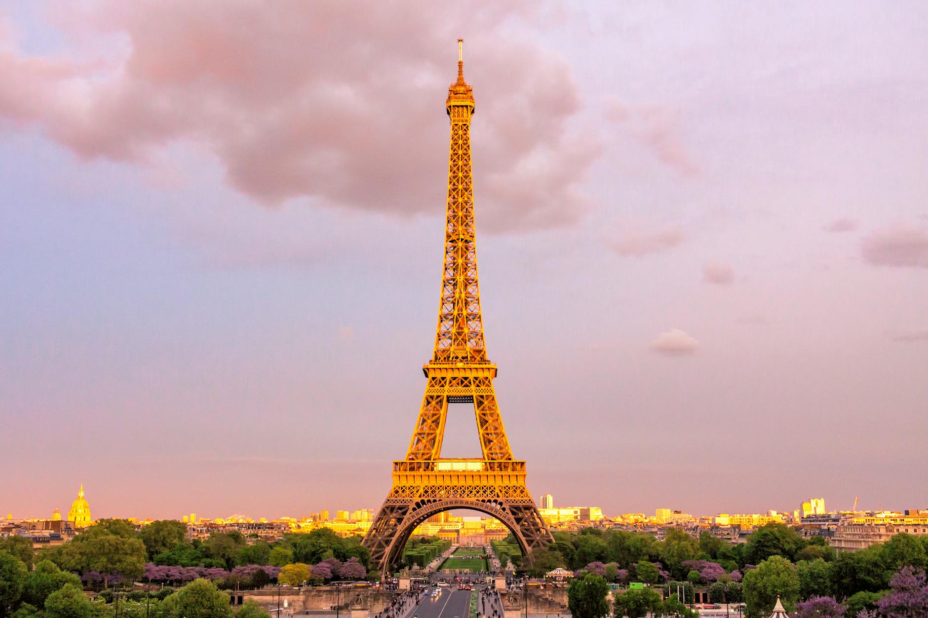
Start: Notre-Dame de Paris, Île de la Cité (Metro Cité, line 4). End: Eiffel Tower (Metro Bir-Hakeim, line 6). Distance: 5.5 km / 3.5 miles. Time: 3.5 hours with stops. This is the marquee walk, the one every first-time visitor should do, because it strings the cathedral, the Louvre, the Tuileries, the Concorde obelisk, and the Eiffel Tower along a single continuous riverside path. There may not be a more photogenic 5.5 kilometres in Europe.
Begin on the parvis of Notre-Dame, which reopened in December 2024 after the post-fire restoration. Cross the Pont au Double to the Left Bank and turn left onto Quai de Montebello. Within five minutes you pass Shakespeare and Company, the English-language bookshop opposite the cathedral and a fine first browse. Continue west along Quai Saint-Michel, where the bouquinistes’ green book boxes line the parapet, then cross to the Right Bank at Pont Neuf and take the staircase down to the Vert-Galant point at the western tip of the Île de la Cité, one of the city’s great sunset spots.
From Pont Neuf, walk through the Cour Carrée of the Louvre and out into the glass pyramid courtyard. The external architecture is the show here, and it needs no ticket. Continue west through the Tuileries gardens, past the round pond, into Place de la Concorde with its Luxor obelisk. Pick up Cours la Reine along the river and cross the gilded Pont Alexandre III, the most ornate bridge in Paris, with its long view down the Esplanade des Invalides toward Napoleon’s tomb. Cross back over the Pont de l’Alma, cut through the Champ de Mars, and the Eiffel Tower opens up ahead.
For coffee, try Café Saint-Régis on the Île Saint-Louis, Le Fumoir near the Louvre, or Café Marly under the Louvre arcades, where you get a coffee with a pyramid view. The light is at its best at golden hour from the Pont des Arts to Concorde. Aim to reach the Trocadéro about 90 minutes before sunset, then stay for the five-minute sparkle on the hour after dark and the 9 pm finale.
Route 2: Le Marais — Hidden Hôtels Particuliers and the Jewish Quarter
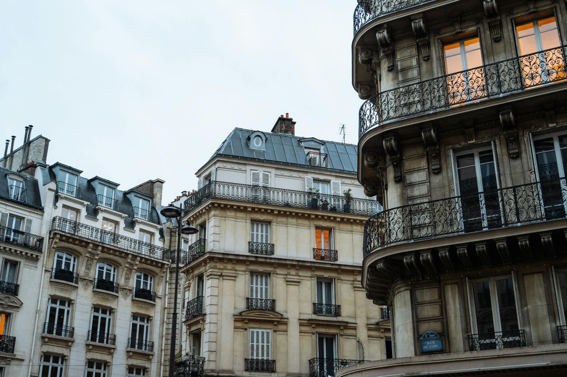
Start: Place de la Bastille (Metro Bastille). End: Hôtel de Ville (Metro Hôtel de Ville). Distance: 4 km. Time: 3 hours. Le Marais holds the densest concentration of pre-Haussmann Paris anywhere in the city: hôtels particuliers, medieval lanes, the historic Jewish quarter on Rue des Rosiers, and a contemporary boutique scene packed in among them. Do this one on a Sunday, when most Marais shops open while the rest of Paris stays quiet.
From the July Column, walk north up Rue de la Roquette and turn left onto Rue de Birague, which delivers you into the arcaded glory of Place des Vosges, the oldest planned square in Paris (1612). Walk a lap under the arcades and visit the Maison de Victor Hugo at number 6 (free). Exit at the south-west corner through the Hôtel de Sully, a 17th-century mansion whose courtyard cuts through to Rue Saint-Antoine. Turn right onto Rue des Francs-Bourgeois, the spine of the Marais, lined with galleries and boutiques.
Detour north to the Musée Picasso in the Hôtel Salé, then double back south to Rue des Rosiers, the heart of the historic Jewish quarter, where L’As du Falafel has served since 1979 and the queue moves quickly. The Mémorial de la Shoah is a few streets south, free and quietly moving. Continue west past BHV Marais to your end point. A few more stops worth slotting in: Musée Carnavalet (free), Marché des Enfants Rouges (oldest covered market, 1615), and Café Charlot for a terrace pause. The Marais pairs well with our list of free things to do in Paris.
Route 3: The Latin Quarter Literary Walk
Start: Place Saint-Michel (Metro Saint-Michel). End: Mosquée de Paris (Metro Place Monge). Distance: 3.5 km. Time: 2.5 hours. The Latin Quarter is the academic heart of the Left Bank, named for the Latin spoken at the Sorbonne right up to the Revolution. Hemingway drank here. Joyce read at Shakespeare and Company. Sartre and Beauvoir argued in cafés that still serve coffee at the same tables.
From Place Saint-Michel and its dragon-slaying fountain, walk along Quai Saint-Michel to Shakespeare and Company at 37 Rue de la Bûcherie: small, crowded, and exactly as charming as advertised. Just behind it is Square René Viviani, home to the oldest tree in Paris (a Robinia planted in 1601) and to Saint-Julien-le-Pauvre, one of the city’s oldest churches. The square also serves up one of the finest postcard views of Notre-Dame’s south facade.
Continue through Saint-Séverin, a small Gothic gem, and onto Rue de la Huchette before turning into the calmer Rue de la Harpe. Walk south to the Cluny Museum, home to the medieval “Lady and the Unicorn” tapestries. Cross Boulevard Saint-Germain, pass through the Sorbonne courtyard (visitors are generally tolerated during teaching hours), and climb Rue Saint-Jacques to the Pantheon, the secular mausoleum of Voltaire, Rousseau, Hugo, and Marie Curie.
From the Pantheon, descend Rue Mouffetard, a stepped market street that comes alive on Sunday mornings, down to its food stalls. End in the Jardin des Plantes (free) and finish at the Mosquée de Paris tea room, where mint tea and pastries are served under a Moorish arcade for a fraction of café prices. The Latin Quarter is the obvious base for guided Paris tours if you want a literary specialist on a second visit.
Route 4: Saint-Germain-des-Prés Café Crawl
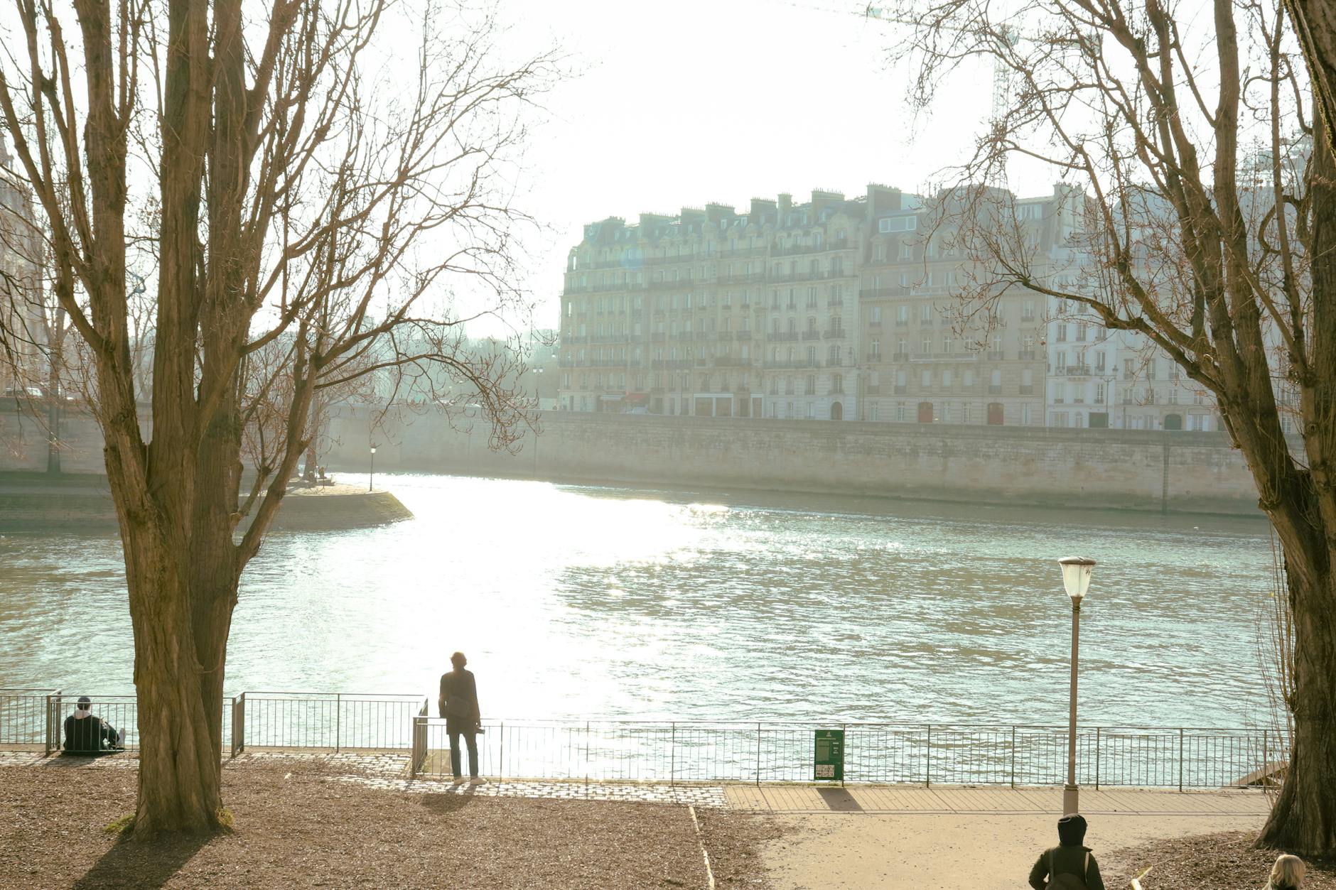
Start: Saint-Sulpice (Metro Saint-Sulpice). End: Cour Carrée du Louvre (Metro Louvre-Rivoli). Distance: 3 km. Time: 2.5 hours plus lingering. Saint-Germain-des-Prés is the Paris of mid-century intellectuals: black turtlenecks, terrace tables, three-hour conversations. This route is short on purpose. Walk slowly, sit often, order a second coffee.
Begin on the steps of Saint-Sulpice, the second-largest church in Paris and a “Da Vinci Code” setting. Take coffee at Café de la Mairie, where Simone de Beauvoir wrote, then walk south on Rue Bonaparte and west on Rue de Sèvres to Le Bon Marché, the oldest department store in the world (1852) and worth a stop for La Grande Épicerie food hall. Cut north-east through Square Boucicaut and east onto Rue de Grenelle.
A short walk brings you to Église Saint-Germain-des-Prés, the oldest abbey in Paris (6th century). Across the boulevard sit Café de Flore and Les Deux Magots, both expensive and both worth a single coffee for the people-watching alone. Continue north on Rue Bonaparte and east along Quai de Conti to Le Procope, the oldest café in Paris (1686), where Voltaire reputedly drank forty cups a day. Cross the Pont des Arts and finish in the Cour Carrée of the Louvre as the lights come on.
Route 5: Montmartre Without the Tourist Pack
Start: Abbesses Metro, line 12 (take the lift unless you fancy 200 spiral steps). End: Cimetière de Montmartre (Metro Place de Clichy). Distance: 3 km. Time: 2.5–3 hours. The whole trick to Montmartre is arriving on the back side. Most tour groups climb the staircase from Anvers straight into the souvenir-stall scrum, get worked over by scammers, and never see the village two streets away. Start at Abbesses and the real Montmartre comes first.
Exit Abbesses into Place des Abbesses, photograph the Art Nouveau Hector Guimard Metro entrance, and detour one block to Square Jehan Rictus for Le Mur des Je T’Aime, “I love you” rendered in 311 languages. Walk Rue des Abbesses to its café-lined upper end, then climb Rue Ravignan to Place Émile Goudeau, the square in front of the Bateau-Lavoir where Picasso painted “Les Demoiselles d’Avignon” in 1907. Stepped streets climb from here to Sacré-Cœur by the rear approach, skipping the Anvers stairs entirely.
Sacré-Cœur is free to enter; the dome climb is the only paid part. After the basilica, walk west along Rue du Mont-Cenis to Place du Tertre, the artists’ square. It’s charming for about ten minutes, and you should categorically avoid the restaurants here, which are tourist traps at high prices. Detour instead to Square Marcel Bleustein-Blanchet, a small terrace below Sacré-Cœur with one of the best free panoramas of the city.
Descend via Rue Lepic, passing Le Moulin de la Galette, one of the last surviving windmills in Paris and the subject of Renoir’s 1876 painting, and end at Cimetière de Montmartre, resting place of Truffaut, Stendhal, Berlioz, and Degas. One safety note: avoid the Anvers Metro staircase, especially late afternoon. That’s the friendship-bracelet scam zone, where men loop string around tourists’ wrists and then demand payment. See the safest areas of Paris.
Route 6: Canal Saint-Martin to Belleville
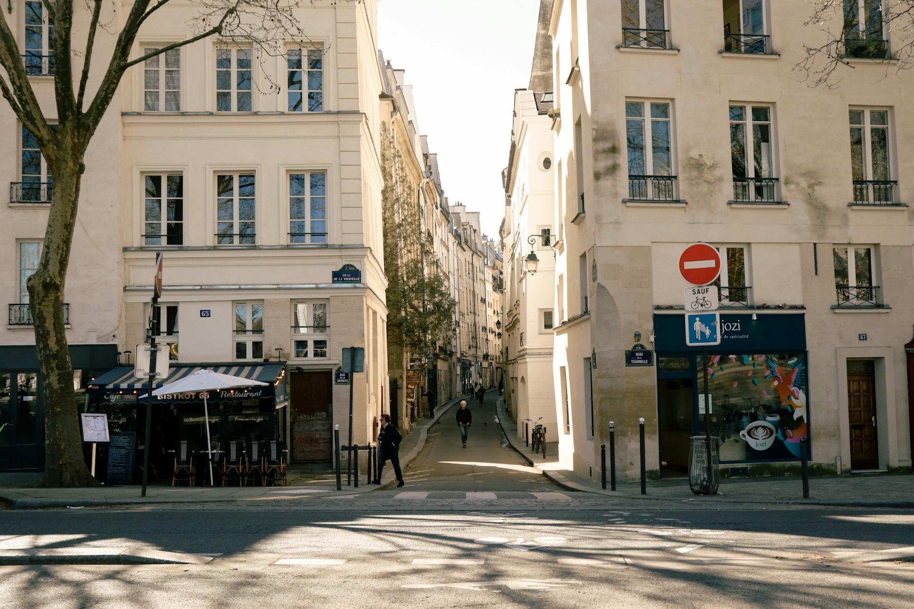
Start: Place de la République (Metro République). End: Métro Pyrénées (line 11). Distance: 5 km. Time: 3 hours. This is the route for a second or third visit, or for a first visit by anyone allergic to the central tourist arc. It threads two lived-in neighbourhoods: the bobo canal scene of the 10th and the working-class hilltop village of Belleville.
From République, walk east to Quai de Valmy and pick up the Canal Saint-Martin towpath. Napoleon commissioned the canal in 1802, and it remains a working waterway, lined with iron footbridges and locks, boats crossing each lock in slow theatrical fashion. Stop at Du Pain et des Idées near Rue de la Grange aux Belles for an escargot pastry (closed Saturday and Sunday). A few blocks north stands the Hôtel du Nord, made famous by Marcel Carné’s 1938 film.
The canal opens out at the Rotonde de la Villette, a neoclassical rotunda from 1788 that originally collected entry-tax on goods coming into the city. From here you have a choice. Continue north along the Bassin de la Villette to Parc de la Villette, where the science museum and music venues make an excellent half-day extension, or detour east into Belleville. For this walk, take the Belleville option. Climb Rue de Belleville, pausing at number 72 to read the plaque marking the (disputed) birthplace of Édith Piaf in 1915.
Belleville is steep, multilingual, and proudly unpolished. End at Parc de Belleville, which has the best skyline view of central Paris and the Eiffel Tower of any free terrace in the city, a panorama almost no first-time visitor sees. Métro Pyrénées is two minutes’ walk away. The route pairs perfectly with the city’s wider unique things to do in Paris, especially its street-art and food-market layers.
Route 7: The Île Saint-Louis and Île de la Cité Lap
Start: Pont Saint-Louis (Metro Pont Marie). End: Pont Saint-Michel (Metro Saint-Michel). Distance: 3 km. Time: 2 hours. This is the shortest route here and the one most travellers somehow skip, despite it being a few hundred metres from where they start. The two central islands loop together easily and pack in more medieval, royal, and ecclesiastical Paris than anywhere else in the city.
Begin on the Pont Saint-Louis, a pedestrian bridge usually animated by buskers, and walk a full perimeter of the Île Saint-Louis. The island is a single 17th-century neighbourhood, designed all of a piece, and it feels like a Paris village floating in the river. At 31 Rue Saint-Louis-en-l’Île sits Berthillon, the most celebrated ice-cream maker in France since 1954 (closed Mondays and Tuesdays).
Cross to the Île de la Cité and head to Sainte-Chapelle, the 13th-century royal chapel whose stained glass is the single most extraordinary interior in Paris. Continue past the Conciergerie, where Marie-Antoinette was held, and the year-round Marché aux Fleurs. Approach Notre-Dame from the parvis (reopened December 2024), and end at Square Jean-XXIII, a small garden behind the cathedral that almost nobody visits but which gives the best view of the apse and flying buttresses. Exit via Pont Saint-Michel.
Route 8: Champs-Élysées to the 16th’s Hidden Quartiers
Start: Place de la Concorde (Metro Concorde). End: Champ de Mars (Metro Bir-Hakeim). Distance: 5 km. Time: 3 hours. Parisians love to mock the Champs-Élysées, but it’s been having a quiet renaissance. The pedestrian space has expanded, the upper end is still genuinely grand, and the ascent to the Arc de Triomphe in Belle Époque sunlight remains a bucket-list moment.
From the Concorde obelisk, walk west up the Champs-Élysées. The lower half is gardens, the upper half shopping and Belle Époque facades. Climb to the Arc de Triomphe and take the underground passage rather than crossing the roundabout, which is genuinely dangerous. Then continue west on Avenue Foch, the widest tree-lined avenue in Paris, to Porte Dauphine and the eastern edge of the Bois de Boulogne.
Turn south down Avenue Henri-Martin and cross the smart 16th arrondissement on foot until you reach the Trocadéro plaza. This is where you take the postcard photo of the Eiffel Tower, the long axial view across the river. Continue down to the Seine and cross the Pont de Bir-Hakeim, the double-decker iron bridge known as the “Inception” bridge for its mid-bridge Statue of Liberty replica and its caged-iron upper deck for the Metro. End in the Champ de Mars at the foot of the Eiffel Tower from the south side, the angle most photos miss.
Route 9: The Covered Passages Loop
Start: Palais Royal (Metro Palais Royal–Musée du Louvre). End: Folies Bergère (Metro Grands Boulevards). Distance: 3 km, mostly indoor. Time: 2 hours plus shopping. Paris had over 150 covered passages in the 19th century, glass-roofed arcades that were the city’s answer to the rain. Around 25 survive, the densest cluster of them between Palais Royal and the Grands Boulevards. This loop links the best, and it’s a perfect rainy-day walk.
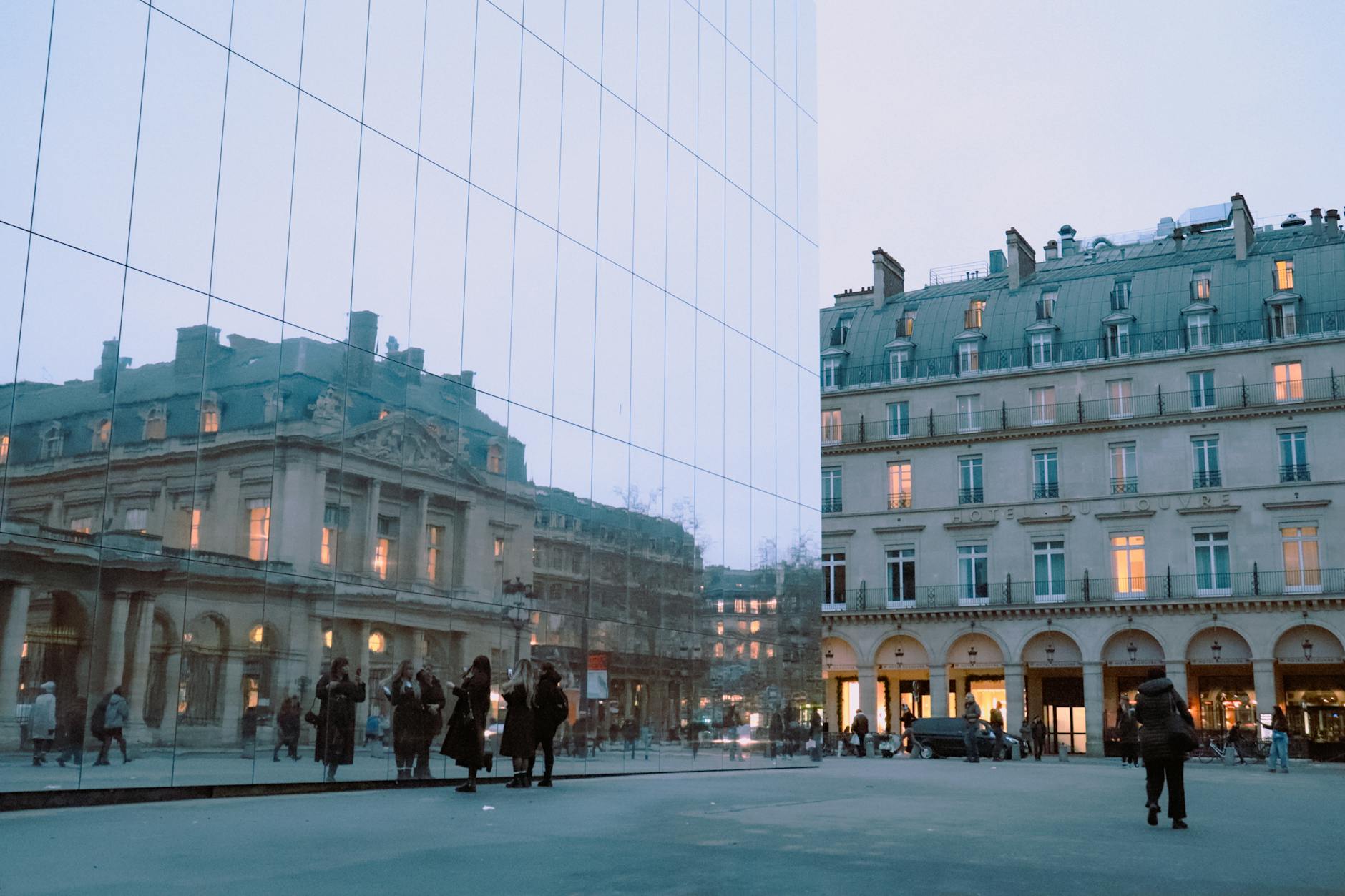
Begin in the inner courtyards of the Palais Royal, where the striped Buren columns are unmissable and free to walk among. Exit north to Galerie Vivienne (1823), whose mosaic floors and glass roof are the most photographed of all the passages. Galerie Colbert sits right next door. Cross Place des Victoires and continue north to Passage du Grand Cerf, the tallest of all the passages at 12 metres.
From there, work west to Passage des Panoramas, the oldest covered passage in Paris (1800), now a haunt for stamp dealers and natural-wine bistros. Cross the Boulevard Montmartre (above ground for thirty seconds) and you land in Passage Jouffroy, home to the Hôtel Chopin and the side entrance of the Musée Grévin, the city’s wax museum. Continue into Passage Verdeau, beloved of antique-print sellers, and emerge near the Folies Bergère. The whole route is largely weather-proof, which makes it the obvious fallback for a wet day. Pair it with our list of Paris rainy day activities for more indoor options.
Route 10: Père Lachaise Cemetery Self-Guided
Start: Père Lachaise main entrance, Boulevard de Ménilmontant (Metro Père Lachaise). End: same gate. Distance: 4 km within the cemetery. Time: 2.5 hours. Père Lachaise opened in 1804 and is the most-visited cemetery in the world. Grab a free map at the entrance before you do anything else, because the lanes are deliberately disorienting and the sections are signposted only sporadically. Open daily 8 am–6 pm in winter, 8:30 am–6 pm in summer; entry free.
Highlights worth navigating to, with section numbers as printed on the free map:
- Section 6: Frédéric Chopin — Polish flowers and ribbons year-round.
- Section 11: Édith Piaf — a simple black slab, often with Piaf records left on top.
- Section 89: Oscar Wilde — the Jacob Epstein angel was caged in glass in 2011 to stop the lipstick-kissing tradition that was eroding the stone.
- Section 6: Jim Morrison — the most-visited grave; expect a small huddle and security cameras.
- Section 87: Marcel Proust — black marble, often with a single Madeleine biscuit left on the slab.
- Section 49: Molière and La Fontaine — relocated here in 1817 to lend the cemetery some cultural prestige.
- Section 96: Sarah Bernhardt and Maria Callas — two of the great voices of the 19th and 20th centuries, within metres of each other.
- Section 76 (Mur des Fédérés): the wall against which the last Communards were executed in May 1871, now a site of left-wing pilgrimage every May.
Walk in respectful silence near mourners, don’t photograph funeral parties, and stay on the marked lanes; cutting across plots is considered offensive. Père Lachaise pairs naturally with a Belleville walk (Route 6) on the same day, the two being 15 minutes apart on foot.
Free and Tip-Based Guided Walking Tour Companies (For Comparison)
Self-guided isn’t the only way to walk Paris. Plenty of travellers combine one guided overview on day one with self-guided routes afterwards. The tip-based market here is well established, so here’s the landscape.
- Sandeman New Europe — daily English-language overview walks of central Paris and Montmartre; tip-based, no booking fee.
- Discover Walks — multiple themed walks (Marais, Left Bank, Montmartre, Latin Quarter); tip-based, with paid premium options.
- Strawberry Tours — newer entrant, daily walks, tip-based.
- Greeters Paris (Parisien d’un Jour) — volunteer-led, completely free, advance booking required (usually two weeks); a local takes you around their own neighbourhood for a couple of hours.
- Paid private guides — Localers, Context Travel, and Take Walks run small-group walks led by historians and credentialed guides, typically €50–€150 per person for two to three hours.
Tip-based tours are good for orientation and the social atmosphere. Paid private tours are dramatically better for a specific interest, whether that’s Belle Époque architecture, Revolution-era politics, fashion, or food. Compare your options in our breakdown of the best Paris tours.
What to Pack for a Paris Walk
Paris is forgiving on most counts but ruthless about footwear. The cobbles in the Marais, Montmartre, and around Notre-Dame are uneven, slick when wet, and unkind to thin soles or high heels. The single most-regretted packing decision among first-time visitors is bringing brand-new shoes, so break them in for two weeks before you fly.
- Comfortable closed-toe walking shoes — trainers, broken-in flats, or proper walking shoes; not new ones, not heels, not sandals on cobbles.
- A day pack, ideally a cross-body anti-theft style for crowded zones (Métro line 1, the parvis of Notre-Dame, the Eiffel Tower esplanade, around Sacré-Cœur).
- A refillable water bottle — fill up at any of the 1,200 Wallace Fountains scattered across the city; the water is free, safely potable, and a small piece of municipal heritage.
- A folding umbrella plus a light layer year-round — Paris weather can flip inside an hour even in July.
- A phone with offline Google Maps and Citymapper, plus a portable battery pack; battery life dies fast when you photograph this much.
- A Navigo Easy card or paper single tickets for the Metro home if you tire mid-route.
- A photocopy or phone photo of your passport — don’t carry the original on the street; lock it in the hotel safe.
Paris Walking Distances at a Glance
Here’s a summary of the ten routes for quick comparison. Print it or screenshot it the morning of your walk.
| Route | Distance | Time | Best for |
|---|---|---|---|
| 1. Notre-Dame to Eiffel | 5.5 km | 3.5 h | First-timers, golden hour |
| 2. Le Marais | 4 km | 3 h | Sundays, boutiques, history |
| 3. Latin Quarter Literary | 3.5 km | 2.5 h | Bookshops, churches, the Pantheon |
| 4. Saint-Germain Café Crawl | 3 km | 2.5 h | Slow café days, mid-century Paris |
| 5. Montmartre Back Way | 3 km | 2.5–3 h | Avoiding tourist traps, panorama |
| 6. Canal Saint-Martin to Belleville | 5 km | 3 h | Lived-in neighbourhoods, hilltop view |
| 7. The Two Islands Lap | 3 km | 2 h | Short walks, Sainte-Chapelle, Berthillon |
| 8. Champs-Élysées to 16th | 5 km | 3 h | Belle Époque grandeur, Trocadéro |
| 9. Covered Passages Loop | 3 km indoor | 2 h | Rainy days, antique browsing |
| 10. Père Lachaise | 4 km | 2.5 h | Literary pilgrimage, history |
Plan the Rest of Your Paris Trip
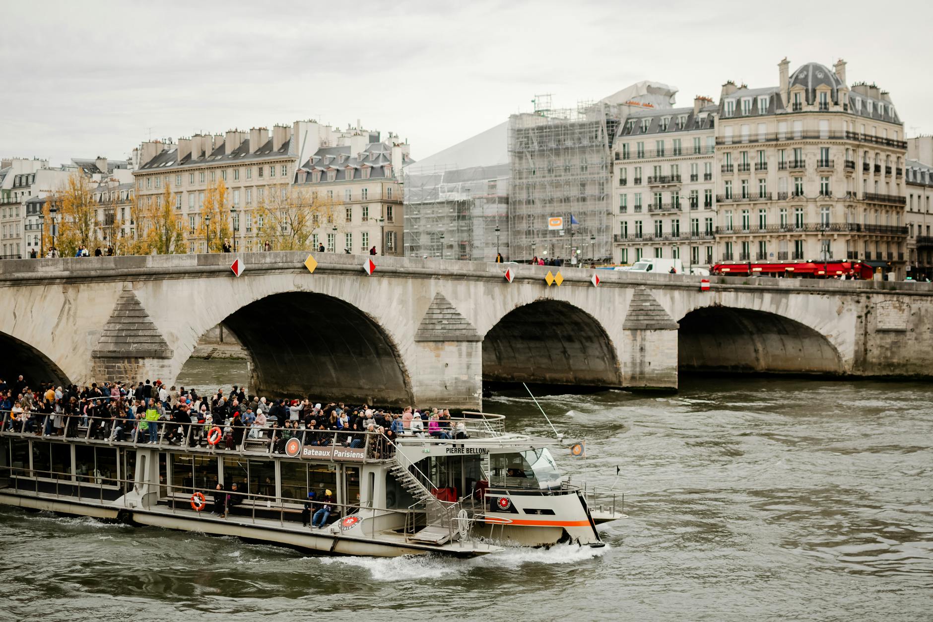
Walking is one layer of the city. Round out the rest with our companion guides: things to do in Paris, free things to do, Paris at night, rainy day activities, Seine river cruises, best photo spots, plus our winter and summer guides.
Frequently Asked Questions
What is the best walking tour in Paris?
For a first visit, Route 1 here, Notre-Dame to the Eiffel Tower along the Seine, is the highest hit-rate walk in the city, covering five major sights in 5.5 km. For a second visit, Routes 5 (Montmartre back way) and 6 (Canal Saint-Martin to Belleville) take you out of the tourist density without losing the city’s character.
How long does it take to walk from Notre-Dame to the Eiffel Tower?
The direct route is 5.5 km and takes about 70 minutes at a steady pace, or 3.5 hours with photo and café stops as described in Route 1 above. Push straight through with no stops and you can do it in an hour, though almost nobody does, because the Tuileries and Pont Alexandre III deserve a pause.
Are walking tours in Paris free?
Self-guided walks are free apart from coffee and any paid attractions. Tip-based group tours (Sandeman, Discover Walks, Strawberry Tours) are free to join but expect a tip of €10–€20 at the end. Greeters Paris is genuinely free. Paid private tours run €50–€150 per person.
Is Paris a walkable city?
Paris is one of the most walkable major capitals in Europe. The city proper is just 105 km², mostly flat (Montmartre and Belleville are the two notable exceptions), arranged in 20 arrondissements that spiral outward, and densely packed with cafés, public benches, and free public toilets. Most central tourist sites sit within a 5 km radius of each other.
Can you walk Paris in 3 days?
Yes, and comfortably. A three-day plan combines Routes 1, 2, and 5 (Classic Arc, Marais, Montmartre) with one Seine cruise and one major museum. That covers the headline sights, two character neighbourhoods, and 12–15 km of walking spread evenly across three days.
What’s the safest neighbourhood to walk in Paris?
The 1st, 4th, 5th, 6th, 7th, and 8th arrondissements are statistically the safest for walking and feel calm at most hours. The Marais (4th and 3rd) is reliably safe day and night. Steer around the known pickpocket clusters, namely the Sacré-Cœur stairs from Anvers, the Eiffel Tower esplanade, Métro line 1, and the parvis of Notre-Dame, and you’ll run into very few problems. See our full guide to the safest areas of Paris.
Are self-guided tours in Paris worth it?
Self-guided walks are excellent value if you’ve done your reading and want to set your own pace. Guided walks earn their keep when you want specialist context or have only one day to absorb a neighbourhood. Most travellers do best with a bit of both: one guided overview, then self-guided routes from there.
When is the best time to walk around Paris?
May to early July and September to mid-October are the prime walking months: long daylight, mild temperatures, gardens at their best. July and August run warmer and quieter. Winter walks are atmospheric and uncrowded, but plan around the 5 pm December sunset. Golden hour, the 90 minutes before sunset, is the most photogenic window for any river-adjacent route.
So lace up, screenshot a route, and start walking. Paris gives itself away in fragments: an iron balcony, a courtyard glimpsed through an open porte-cochère, a busker’s chord on the Pont Saint-Louis.
Related reading
Use these to round out your trip: